LASR.net Homepage


Menu

Sheridan, Arkansas

Directions: 13 miles south of Sheridan on the banks of the Saline River

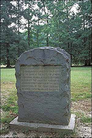
General Steele's Federal troops were desperately trying to cross the river in flooded, foggy conditions when the Confederates began their attack. The battlefield, now largely in timber production, is still prone to heavy spring flooding, as it was when the two armies met there on April 30, 1864. It was the last major Arkansas battle in the Camden Expedition of the Red River Campaign. Picnic area.

Attractions and Upcoming Events

Things to do near Sheridan, AR

El Dorado Downtown

Directions: U.S. 167 to Main Street Exit. Three miles to downtown. Boutiques and shops on historic square; walking tour of...

Fordyce Country Club

Course Access: PrivateHoles: 9Reserve Advance Tee Times: Yes...

Jenkins' Ferry Battlefield State Park

Directions: 13 miles south of Sheridan on the banks of the Saline River General Steele's Federal troops were desperately t...